- Aerial Mapping
- Drone Mapping
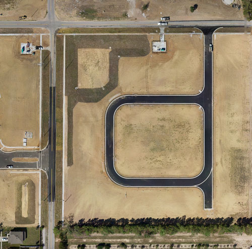
- Orthomosaic Mapping
- Point Clouds
- DTM With Contours
- Planimetric
- 3D Point Cloud
- Scanning
Data collected by the Aibot X6 drone can be used to produce a point cloud of the area that is being surveyed. A point cloud is a 3D model consisting of millions of data points that can be used to extract features such as roads and buildings from the data collected by the drone. Specialized software is used for point cloud manipulation.

